Walking Distance
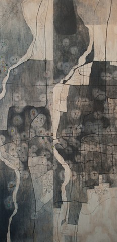
Left hand map shows food store density, where darkest value equals 3.38 stores per 10,000 residents. Right hand map shows fast food restaurants were darkest values equal 7.23 stores per 10,000 residents. Maps based on data from the New Mexico Department of Health. Circles represent the area within walking distance from each store. Areas that are outside of the circles are food deserts, places where there is no grocery within walking distance.
